Description
Terminal Area Chart (TAC) - For use in terminal areas, these charts provide airspace, air-routes, prohibited, restricted and danger areas, navigation aids and radio frequencies. They are designed to display aeronautical information at a larger scale for easier use in congested areas. Scale varies for each chart.
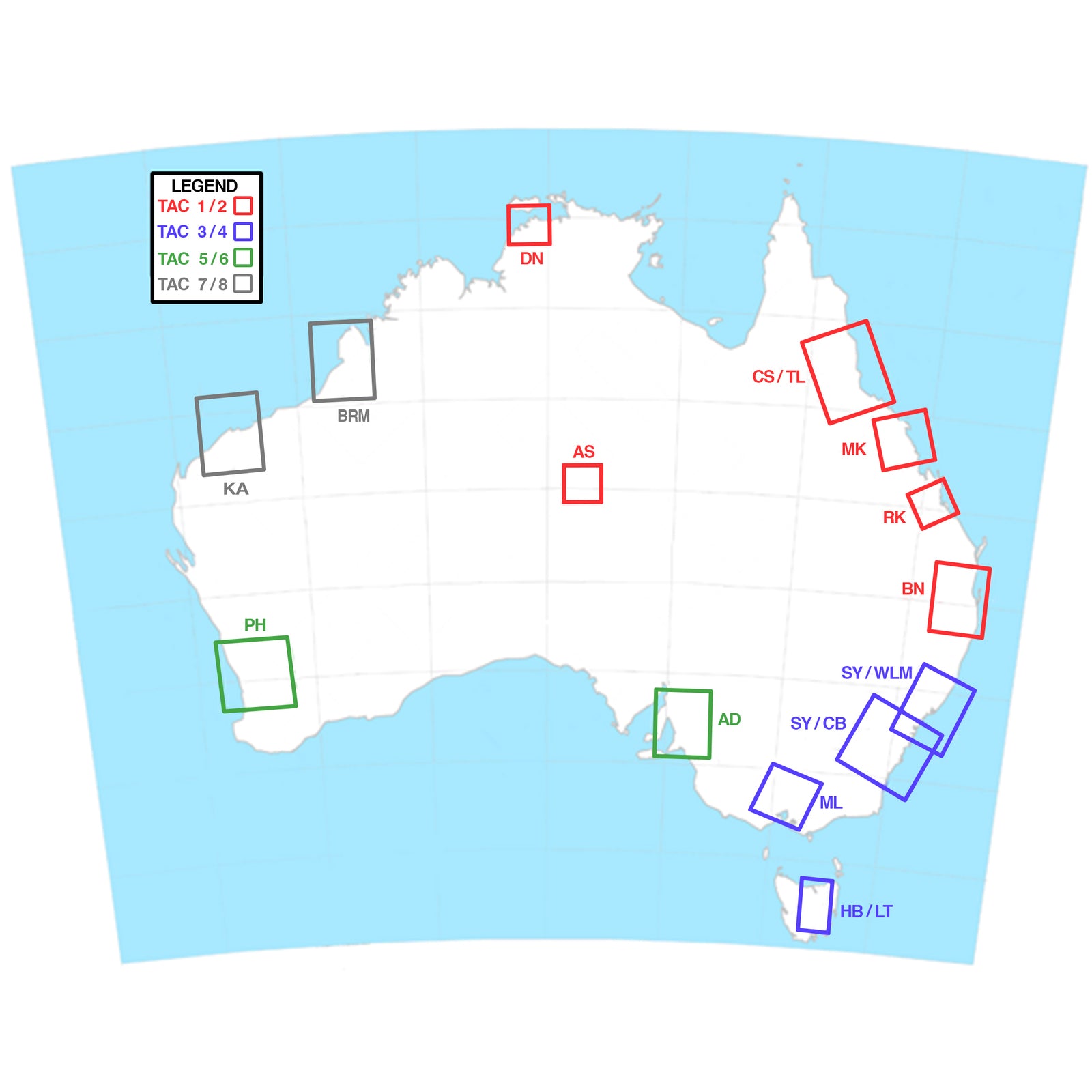
TERMINAL AREA CHARTS AUSTRALIA
TAC 1/2 - QUEENSLAND & NORTHERN TERRITORY
TAC 3/4-VICTORIA/CANBERRA/SYDNEY/HOBART/WILLIAMSTOWN
TAC 5/6 - SOUTH AUSTRALIA/WESTERN AUSTRALIA
TAC 7/8 - WESTERN AUSTRALIA KARRATHA/PORT HEDLAND/PILBARA/BROOME
This chart is amended every 6 months.


