Description
The VNC will:
- Plan your flight in relation to CTA
- Make the transition from the WAC to the CTV when operating around terminal areas
- Navigate when nearing CTA or Restricted or Danger areas
The VNC contains the following:
- Topographical information at a scale of 1:500 000
- Controlled Airspace and Flight Information Area (FIA) boundaries
- Designated Remote Area and Danger / Restricted Areas.
Updated every 6 months.
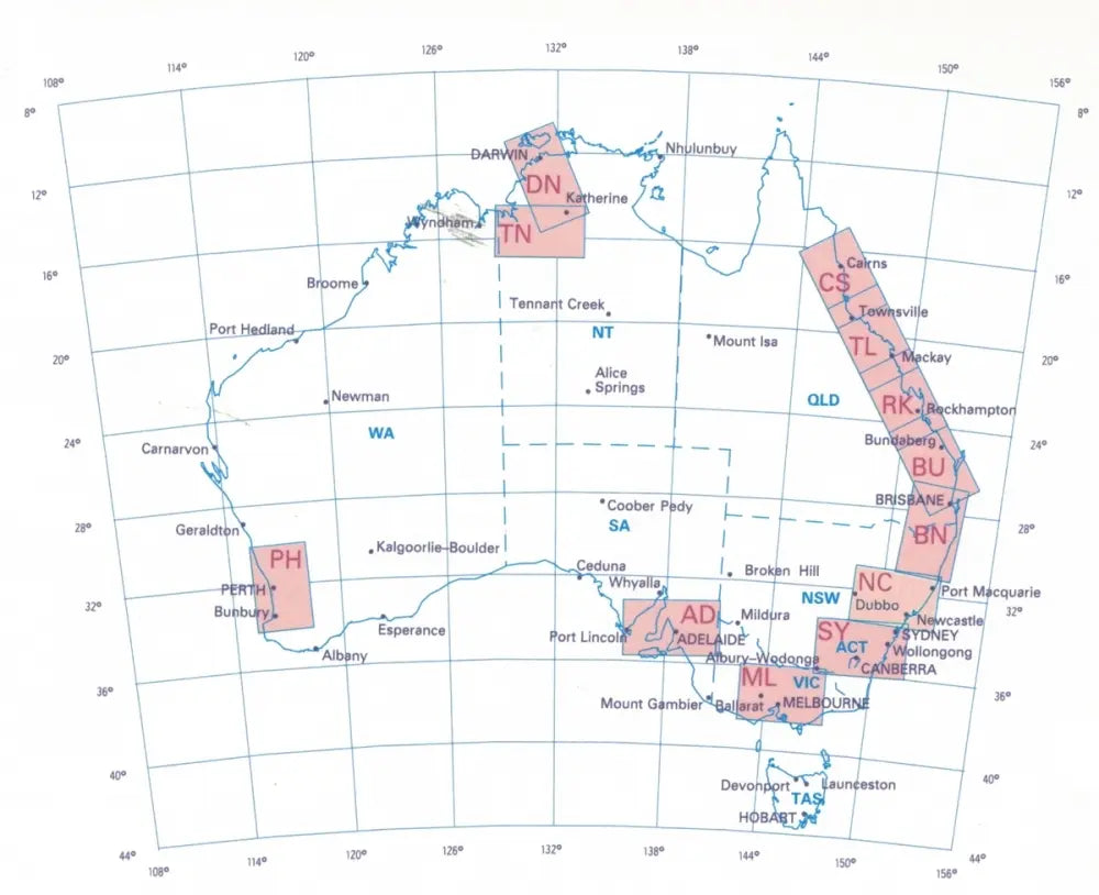
VISUAL NAVIGATION CHARTS AUSTRALIA
VNC - MELBOURNE/DENILIQUIN
VNC - HOBART/LAUNCESTON
VNC - ADELAIDE
VNC - NEWCASTLE
VNC - SYDNEY/BRISBANE
VNC - CAIRNS/TOWNSVILLE
VNC - BUNDERBERG/ROCKHAMPTON
VNC - DARWIN/TINDAL
VNC - PERTH
